- Stouffville is in the process of updating its Official Plan (OP), which sets the rules and parameters for growth, development, land use, and services planning.
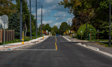
- The OP focuses on densification, mixed-use development, and complete communities, departing from low-density sprawl and car-centric planning while encouraging active transportation and convenient access to jobs, services, and community resources.
- While communities like Ballantrae, Musselman’s Lake, and Bloomington will see some growth, the bulk of Stouffville’s population increases will be focused in the Town’s urban centre.
- General maximum height increases would be implemented at varying degrees throughout the Town:
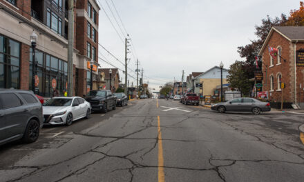
- Within the Village’s Core Area, Main Street would see a height allowance increase from four to six storeys.
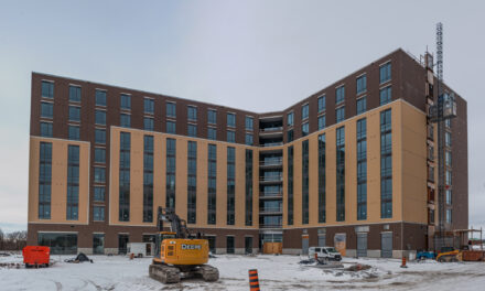
- Some lands adjacent to the Main Street GO station would see an increase from six to 10 storeys, while others go from 10 to 20 storeys.
- Much of the Gateway and Western Approach regions surrounding Main Street west of Ninth Line would see a maximum height allowance of 20 storeys.
- Regional Retail lands, much of the Old Elm MTSA, and parcels along Highway 48 would also see a maximum of 20 storeys.
- The complete list of maximum height increases, as well as relevant maps showing where these areas are located, are included below.
- Residents can learn more about the OP here, the complete draft Official Plan can be viewed here, and a compilation of all related maps is available here.
- Written comments can be sent to opreview@townofws.ca and must be submitted by July 31.
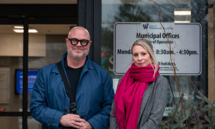
Stouffville expects over 100,000 residents and roughly 28,400 jobs by 2051, requiring extensive planning to accommodate. “This is a very modern and…aggressive Official Plan for us over the next thirty years,” Mayor Lovatt said of the document. “We’ve had a lot of community feedback over the last three years. We are going to be making a decision this fall to approve the Official Plan, and now is the time to get your feedback in,” he told members of the public.
The document is expansive, looking well beyond density and heights to cover a wide range of planning concerns throughout the municipality. Responding to community input received throughout the process, urban design and built form would focus on appropriate transitions to surrounding land uses while respecting the character of the Town’s different neighbourhoods. The Official Plan would also permit up to two additional residential units per lot, which can be within the primary dwelling or in a detached unit on the property.
A climate change lens will also be utilized during the review of development applications, and new development would be required to address air pollution, extreme heat, and flooding risks. Parkland considerations are also presented, including a push to ensure parkland is available within 500 metres of residential dwellings. Furthermore, a new Town-wide Natural Heritage System has been introduced to identify, enhance, and protect natural heritage and hydrologic features throughout Stouffville.
Agricultural areas will be designated and related land uses will be permitted based on the Oak Ridge Moraine Conservation Plan (ORMCP) and the Greenbelt Plan. Some agricultural lands to the south—outside the ORMCP and Greenbelt Plan areas—are being deemed “New Urban Areas,” aiming to accommodate a minimum of 65 people and jobs per hectare.