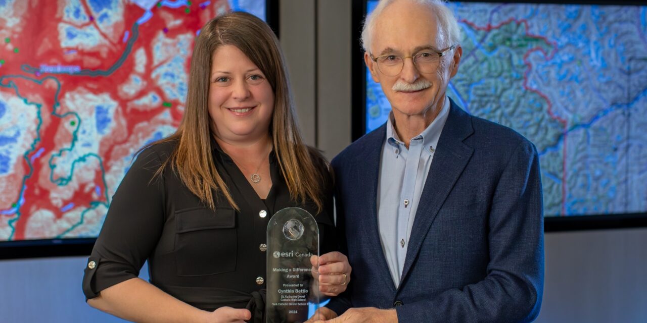
- St. Katharine Drexel Catholic High School teacher Cynthia Bettio has received Esri Canada’s Making a Difference Award.
- Esri Canada provides geographic information system (GIS) mapping tools used by municipalities like Stouffville to analyze and display geographic data.
- Bettio was recognized for an urban planning project where students created land-use plans for hypothetical Stouffville development sites.
- Students presented their concepts, which utilized Esri’s GIS software, to Stouffville’s Council in June.
- Bettio emphasizes connecting coursework to real-world and local issues to foster critical thinking and deeper understanding in students.
Cynthia Bettio, head of Canadian and World Studies at St. Katharine Drexel Catholic High School (SKD), received Esri Canada’s Making a Difference Award for innovative use of GIS technology in education.
Esri Canada provides geographic information system mapping and analytics solutions to more than 14,000 organizations. GIS enables data analysis and allows for the geographic display of information. Municipalities such as Stouffville use Esri’s services for a variety of purposes, including public-facing tools like the Town’s Development Activity Map.
The award recognizes individuals and organizations that use Esri’s ArcGIS tools “to make a positive impact on their communities,” according to a recent Esri Canada press release. Bettio was honoured for her role in a multi-class urban planning project that utilized the company’s software during the 2023-2024 school year.
After months of study, 24 SKD students presented Town Council with land-use plans for three hypothetical Stouffville development sites. Their work included collaboration with Town Staff, and final renderings and virtual tours were showcased to Councillors and the public during a packed June 2024 meeting.
Their concepts were informed by investigation into surrounding land uses and focused on housing, parkland, and community amenities. Climate change mitigation strategies and renewable energy sources were also considered and implemented within their designs.
“By incorporating Esri’s cloud-based mapping and analysis software…into her geography and history classes, Ms. Bettio transforms abstract subjects into dynamic, hands-on learning experiences,” the press release detailed. “She engages students with projects that integrate real-world data and local history, encouraging them to think critically, tackle complex problems, and make meaningful connections between their coursework and the world around them.”
Bettio was also recognized for her efforts in a Grade 10 Advanced Placement Canadian History class project that tracked the evolution of various Richmond Hill parcels over more than a century. Students presented their final deliverables to the Richmond Hill Historical Association in 2023 using GIS tools.
“If we want kids to care about the subjects that they are learning, we have to be able to show them where they connect to them,” Bettio said. “If we focus on local issues that are relevant to students’ lives, we can ask them to step back and examine the bigger picture with greater depth and understanding.”
*Cover image courtesy of Esri Canada


